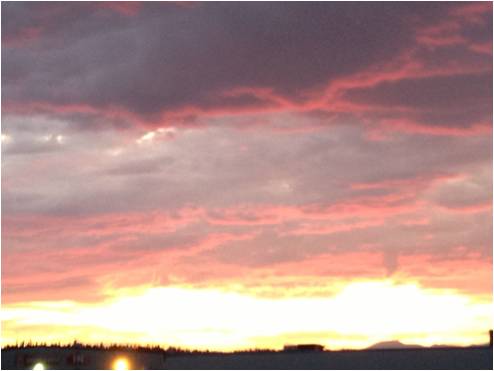

Take a road trip where wildlife appears in and on the landscape, signs from around the world sprout in a forest and flowers grow on roofs. This is Highway 37 – the Stewart-Cassiar Highway – where you’ll discover the unexpected, experience the freedom of being off the beaten track, and be awed by dramatic northern landscapes. Here are a few photo highlights you might see on this wilderness route. (For detailed travel information,including travel tips and available services, see Highway 37 Stewart-Cassiar Scenic Route to the Yukon and Alaska).
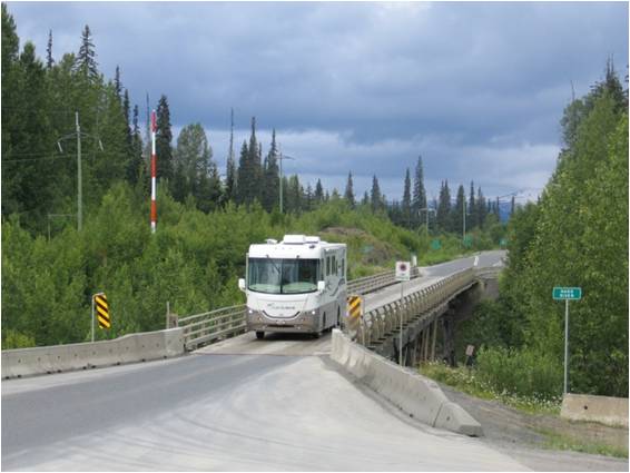
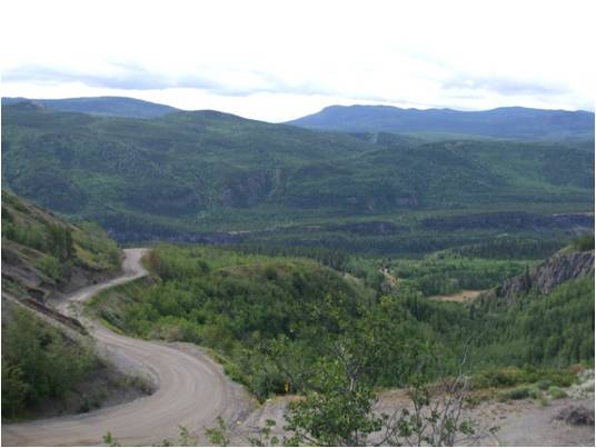
Highway 37 offers adventurers and nature lovers a scenic route to the Yukon (and onto Alaska), with three possible side trips along the way. When you return south via the Alaska Highway, you travel the ultimate northern circle route. Set off where Highway 37 heads north from Highway 16, about 43 kilometres west of Hazelton. As the route is fully paved, with the exception of about one kilometre (and a few short stretches that are marked) it’s fine for RV travel.
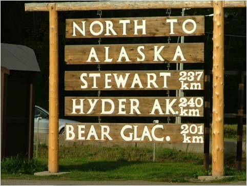
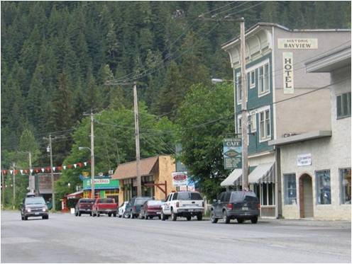
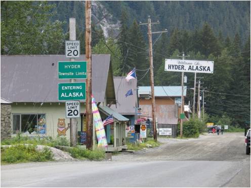
Side Trip #1 – Highway 37A to Stewart, B.C and Hyder, Alaska
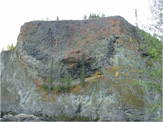
Highway 37A is full of surprises and spectacular scenery – you can snap a photo of Bear Glacier right from the roadside. At Stewart’s location near the fourth largest fjord in the world, the steep mountains drop straight to the ocean. Keep driving and suddenly, with little fanfare you’ll be in Hyder Alaska, the most southerly town on the Alaska panhandle. (Well, all of Alaska, actually).
Outdoor Adventure
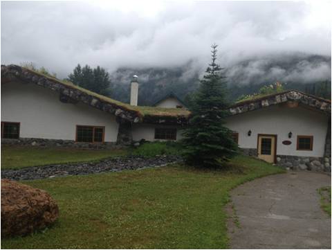
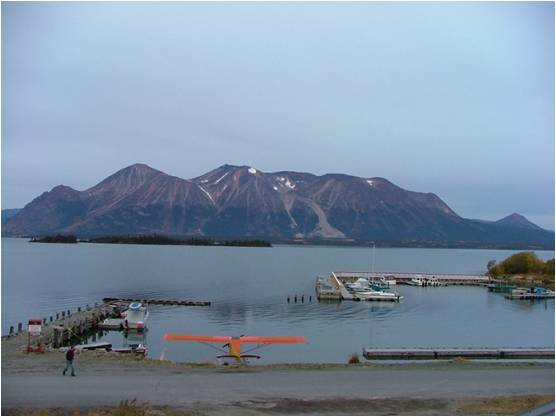
Along Highway 37, there is infinite opportunity for outdoor adventure – hiking. fishing, bear watching and heli-skiing (in the winter). Start by exploring the many provincial parks and ecological reserves on this BC Parks map. You can overnight at provincial campgrounds, or at privately operated campgrounds or accommodations.
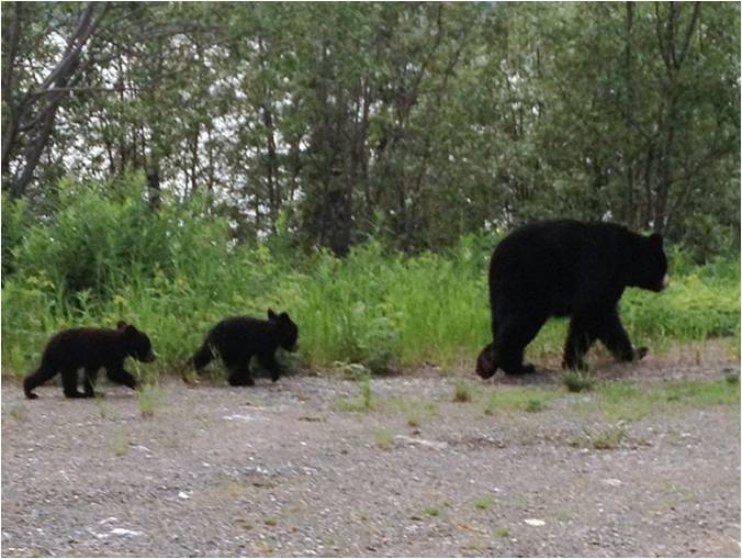
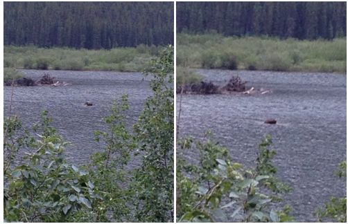
It’s common to see bear, caribou, moose, fox, mountain goats or other animals along the highway, especially In the late spring and early summer, when adults cross the road with their young. Admire them safely from inside your vehicle, and be sure you’re not blocking traffic.
Side Trip #2 – Road Telegraph Creek Road
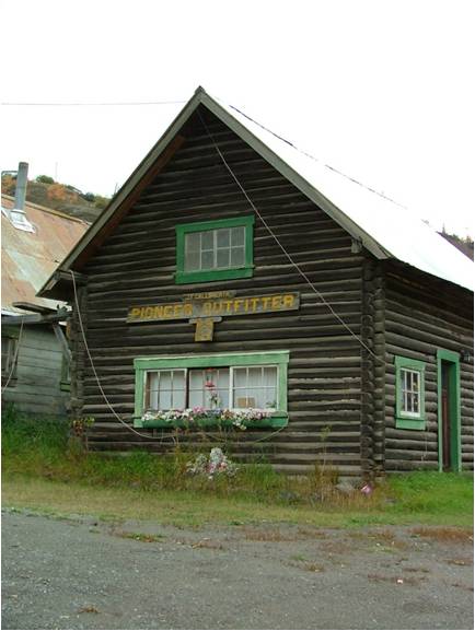
Telegraph Creek Road is all gravel and has grades of up to 20 per cent, as it follows the canyons of the Stikine River. This is a route you drive carefully! (Not recommended for RV trailers). The road goes to the community of Telegraph Creek, where buildings from the late 1800s gold rush era remain.
Side Trip #3 – Atlin
You have to leave B.C. to get to Atlin, B.C. In fact, you leave and enter the Yukon and B.C. twice! See this map, to get the idea.


Join the discussion